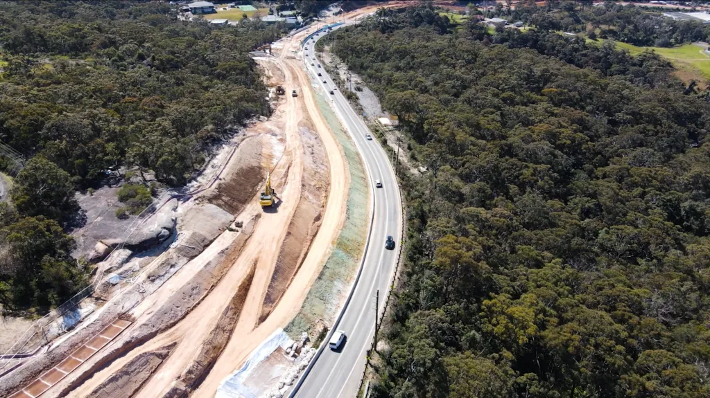
UAV/Drone
UAV data can be used to accurately create digital terrain models, provide volumes for end-of-month and to obtain high-resolution imagery.
Here at ESO Surveyors, we have trained remote pilots in each state to ensure we’re equipped and ready to tackle any project.


